I really enjoyed this lab in particular and becoming more comfortable with ArcGis in general. I was surprised by how simple it was to upload the statue data and create the map that I wanted with minimal issues. I also toggled around for a while and found that it easy to make maps from scratch without even uploading anything. You can simply drag and drop the points or look up the locations that you want. I can see the potential for using ArcGis in both my course work and on a larger scale. As an Environmental Studies major, many jobs and internships want you to be familiar with GIS for all different kinds of projects. Making a map can make many projects look more professional generally, can be useful for understanding how location plays into certain things that on the surface may seem unrelated, and for numerous other functions. In my geomorphology class this term, we used ArcGis to create a map of hydrological features down the Cannon River. I am excited to increase my familiarity with ArcGis and use it for projects in the future.
5 thoughts on “Mapping The Journey Of A Pig”
Comments are closed.
I also used ArcGis for another class this term, and it was interesting to experiment with both the online and desktop versions. Being able to interact with a map without having to input lots of data beforehand was certainly convenient, and the ability to drop pins with the touch of a button was surprisingly simple.
The environmental applications of ArcGis are definitely something I thought about, but couldn’t quite pinpoint, so I like how you mentioned that specific features of rivers could be represented with maps. You also mentioned using web mapping for cases where location doesn’t seem relevant at surface level which is really interesting; I think an example of a case like this could intersect with economics.
I found your comment that you are using ArcGIS in multiple different classes for different fields very interesting. I wonder what are the main similarities and differences between the use of ArcGIS in environmental science and in the digital humanities? How do the different types of datasets you worked with in ENTS and digital humanities impact your use of ArcGIS and your final result?
I also found it surprising that it was so easy to upload the data to ArcGIS, and the simplicity of making maps. I’m not sure how useful it will be for my other courses this semester, but I do hope to find more use for it in the future, both academically and professionally.
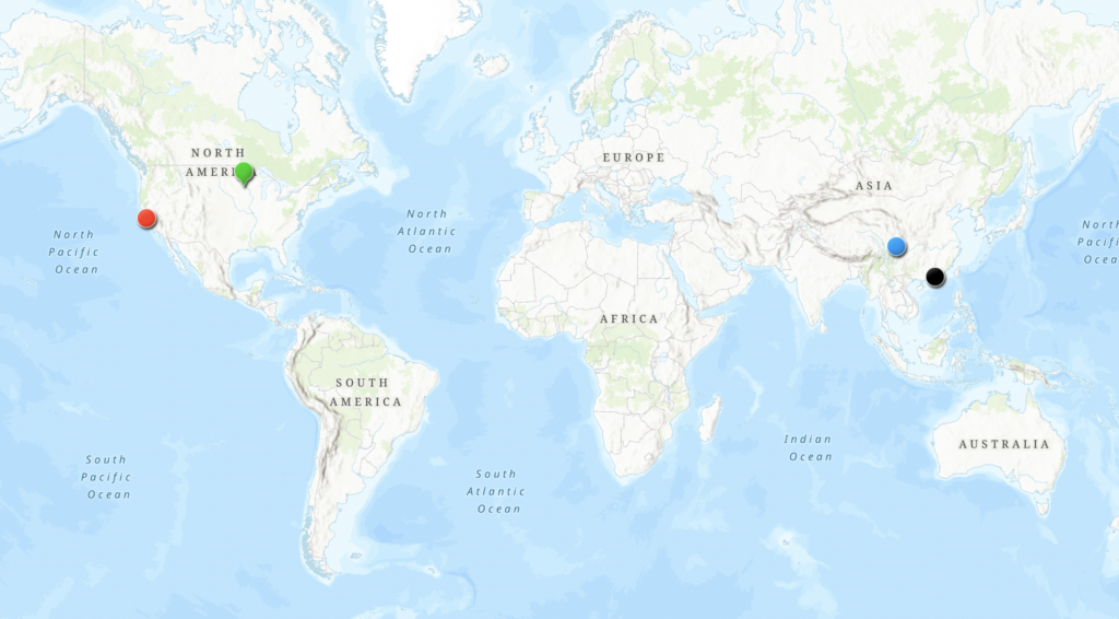
Your map looks very similar to my groups’ map. Our horse started in Asia, moved to Cali, and then ended up at Carleton. I wonder if they are similar objects or even donated by the same person?