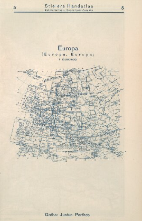
My experience Georeferencing a map was a bit time-consuming. Before choosing Justus Perthes’ Europa map to georeference, I went through some maps that seemed impossible to work on. Some of them had writings with fonts that I couldn’t read and others were drawings of buildings and streets, making them impossible to locate on a map. While georeferencing the Europa map, I had problems setting control points. The map was similar to the modern map of Europe in terms of geography. The problem was that some names of cities/towns/states, which were the only metric I used to set control points, had changed. After spending some time trying to map using the names of places and having little success, I decided to compare geographic features on both maps. I was able to set more control points by comparing rivers and some rock segments. Click here to view my rectified map.

Thus, I feel like georeferencing will not be appropriate for revealing knowledge about how a city/country looks like because the age gap between the maps is huge. This means that man-made features change at a very fast pace, so certain features on the old map will be different from those on the new map. Nevertheless, georeferencing will be appropriate for the geographic contents of a map since they change less frequently.
Comparing this process to a spatial DH project I analyzed called Mapping Gothic France, I realized that all the buildings I saw in that project were geo-referenced. There were a lot of control points on the map, each with links for further analysis. I think it was time-consuming to rectify such a map. Thus, the process needs patience and keen observation.
After rectification, the map can be accessed via Web Map Tile Service (WMTS), TileJSON, and XYZ formats. There are several possibilities to analyze the map and ensure useful interactions between the control points that create meaning. Thus, the next step will be digitizing the map using a tool like ArcGIS.
1 thought on “Georeferencing Europa”
Comments are closed.
You have a such detailed map! By setting intersections of graticules as control points I think you can have a well georectified map. I agree with you that georeferencing is not approprate for revealing knowledge about how a city/ country looks like. But if you wanna to compare the difference between the old citys and the modern ones, georeferencing is still powerful.