Final Project Data Visualization: Mapping Carleton Throughout the Years
What’s the data? The data is many maps of the Carleton Arboretum through the years.
What’s the data? The data is many maps of the Carleton Arboretum through the years.
The World Historical Gazetteer is a tool that makes historical research more accessible by making
We learned about spatial mapping this week in class. I enjoyed the process, but I
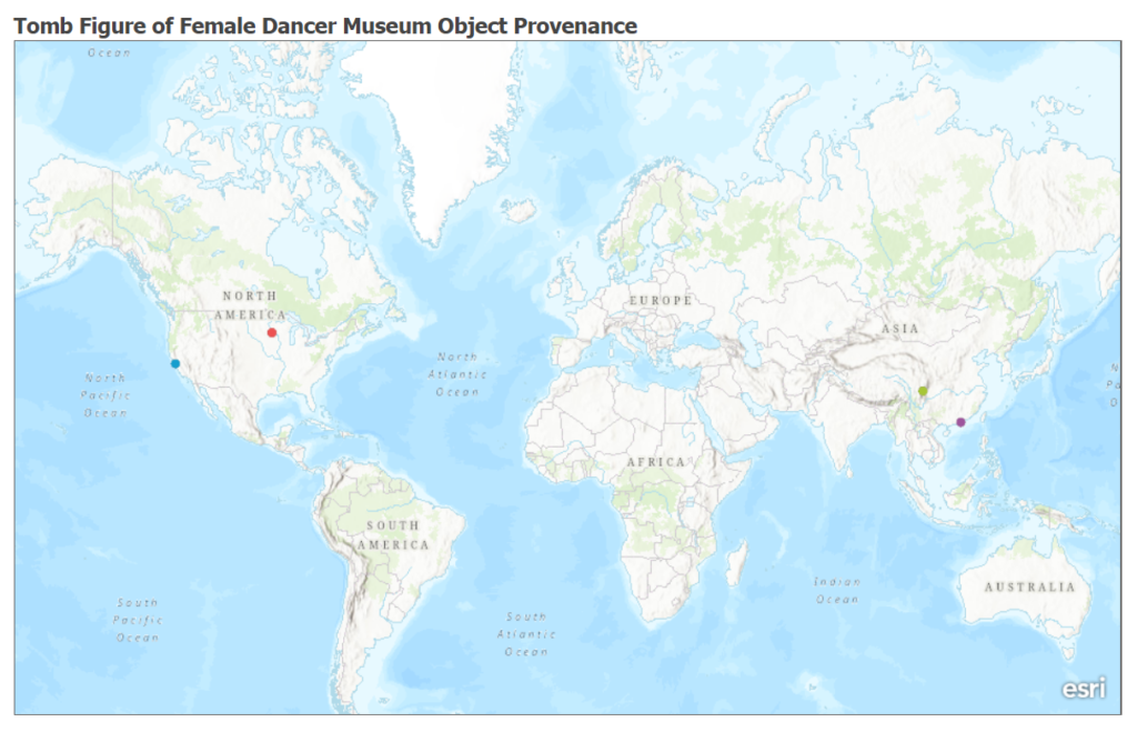
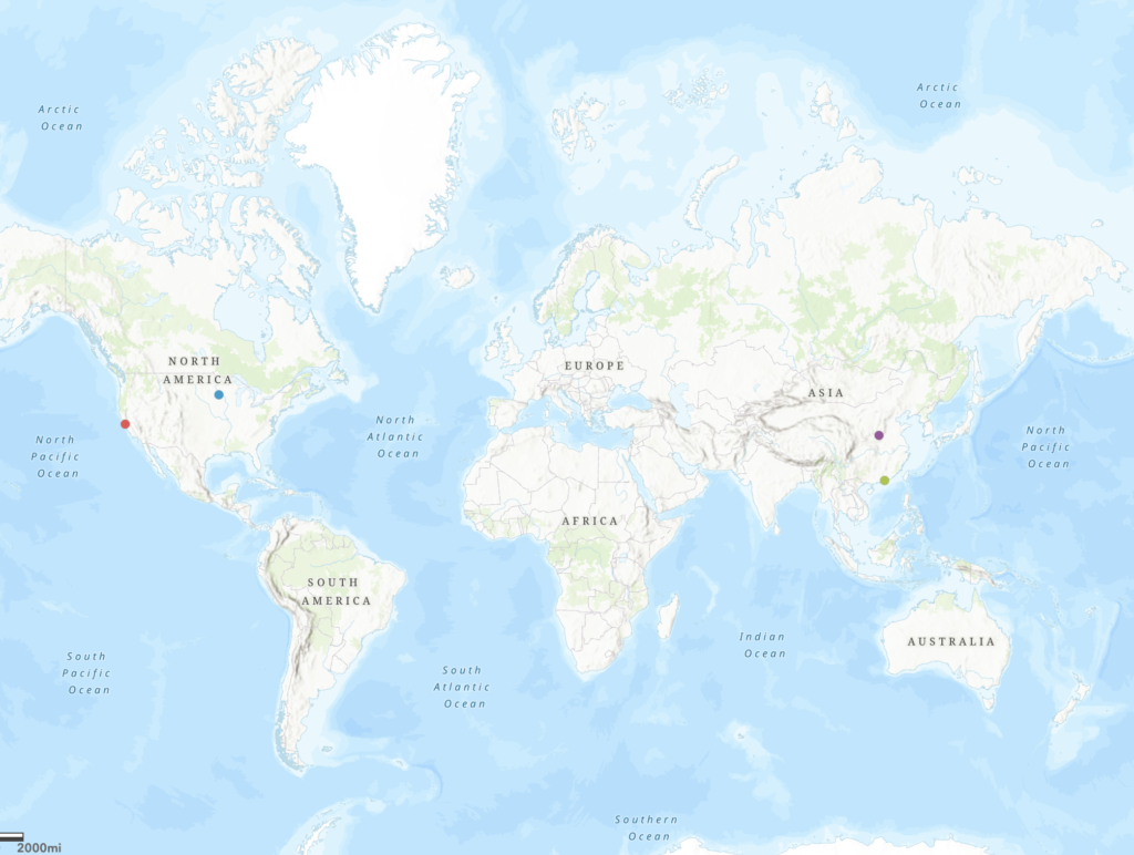
Throughout the process of capturing an artifact for a Weitz Art History collection, I learned
iFrames are not supported on this page. Web mapping through ArcGIS is a very intuitive
This week, I familiarized myself with digital mapping technologies to fully understand the possibilities that
Our Map: Thoughts: I think the potential for GIS-mapping is very high! Even on a
This week we took a plunge into completely new waters for me. In some sense,
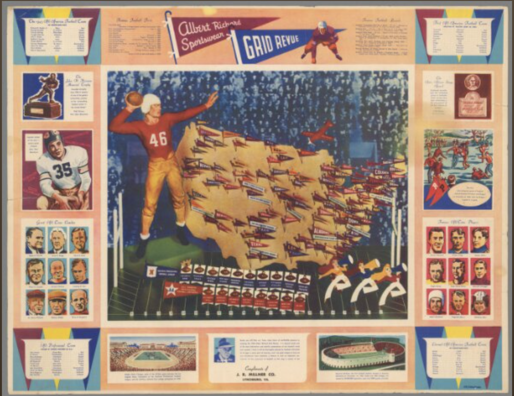
This week we looked at the David Rumsey Map Collection and learned to rectify the
Using David Rumsey’s Georeferencer has given me a real appreciation for early cartographers. Modern