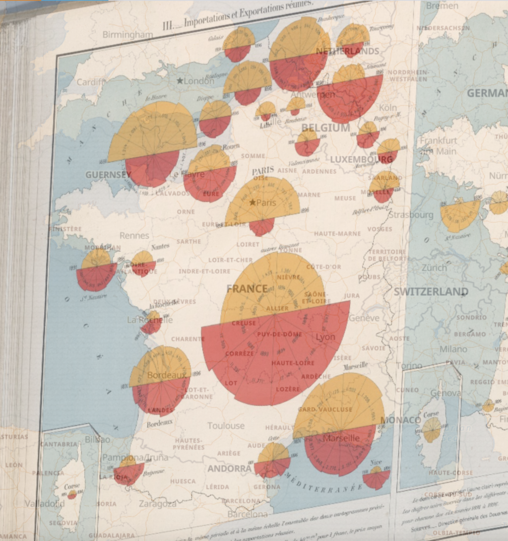
This week we were able to georectify maps, placing historical ones on to what we think of today as a ‘true’ map. The David Rumsey Map Collection is a tool where an older map is generated, and then the user can place and compare points from the historical map on to the map that can be manipulated. The map that I georectified was a map of France showing the Special Commerce from 1891 to 1896, highlighting the values and weights by customs taxes. The final map shows the historical map overlaid on to the moveable current map, and the user can control the transparency of the overlaid map.

I thought this process was really satisfying and sort of felt like a game, but I don’t think it really changed my understanding of spacial DH projects I have already seen. Despite this, I now feel like I have a better understanding of the tools available to me. It is interesting, though, to see how our comprehension of the physical world around us has changed over time, and it makes me wonder how it will continue to evolve.
From the This Map page, we can learn more about the background of the historical map, including the Metadata. There are also links to the XYZ url of the map, along with other links to export the map. Once we have a georectified map, it would be interesting to plot natural resources/landmarks to understand how those have changed over time, along with compare how the representation of cities has developed. There are some cities on my map that historically are pictured very prominently, but now they were much more minor. With georeferencing, problems can come up with the point of view of the map. If a map is a perspective map, rather than an overview, it would be unsuitable for georeferncing. Additionally, this mainly works for how western audiences think of space, so it is mainly done for maps created by westerners, which brings into question the idea of representation. This method would not be appropriate for research areas that do not deal with people or space, such as specific questions only involving one very narrow subject or location. Additionally, it would not be appropriate for subjects that have a very static research focus, as georeferncing is more useful when the topic covers the evolvement of subjects over an area.
1 thought on “Georeferencing a 19th Century French Commerce Map”
Comments are closed.
I also felt like Georefrencing was fun and that it felt similar to a game. This made me think about how it would be very easy to crowdsource something like manual georefrencing if it can be put online and made entertaining. I’m not sure if gamifying DH projects is possible for many aspects of the field, but this project did make me think about how using the web as a source of human intuition could be powerful.